Hiking in Hakone, wonderful view from Mt.Myojin and Kintoki
Mt.Myojin and Kintoki, Hakone Area
< Distance : 17.5km Time : 7hours Elevation Gain : 1,200m >
Region : Hakone, Kanagawa, Japan
Date : December 29, 2019
Transportation : Bus from Odawara station or Hakone-Yumoto station
Mt.Kintoki is very popular for hikers by the stunning view of Mt.Fuji. I walked from Mt.Myojin to Kintoki in early winter season.
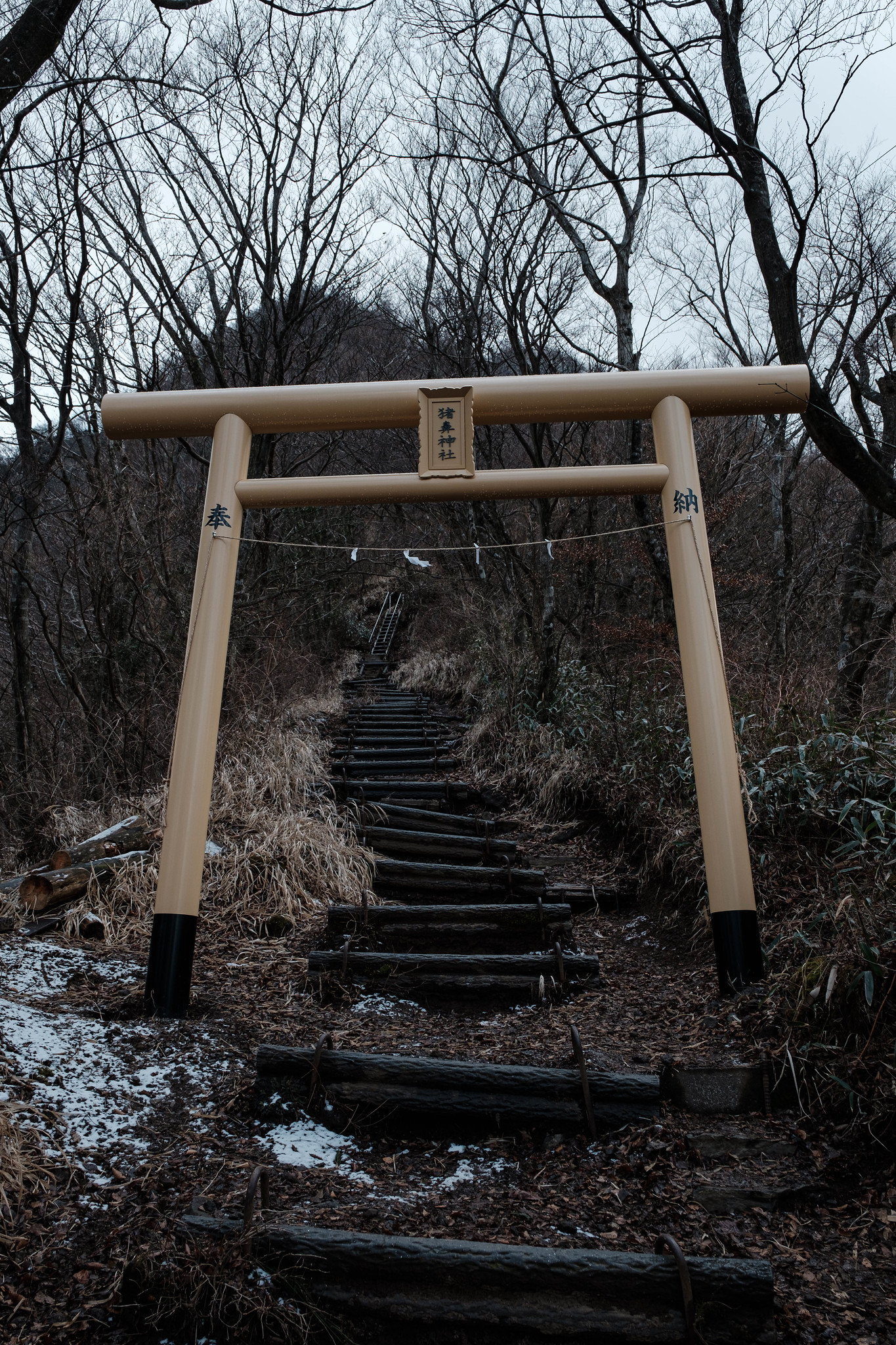
1.To Mt.Myojin
7:30 AM I started a day hike in Hakone mountains from Miyagino-Eiogyosho bus stop. Walking through a residents area to the gate by signs.

Into the woods.

I could see the volcano, Mt.Kamiyama and Kanmuri, Owakudani.

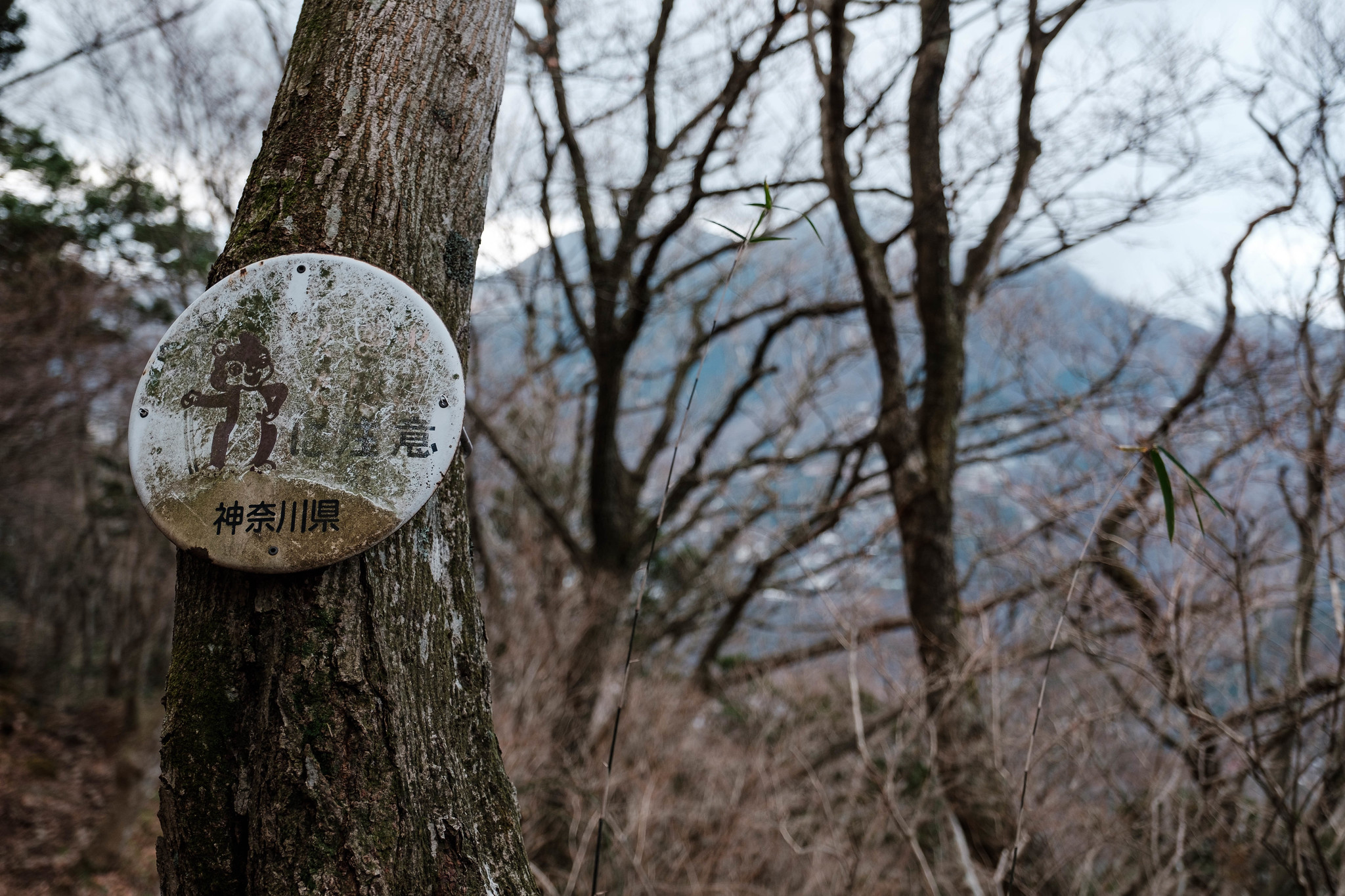
It was cold at the mountain ridge, the trail is frozen but do not to need snow spikes.


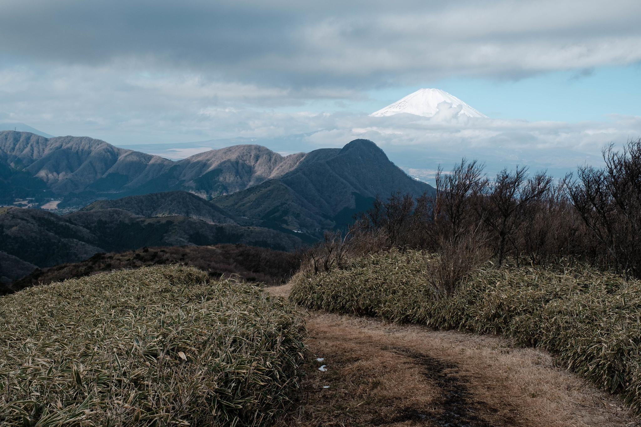
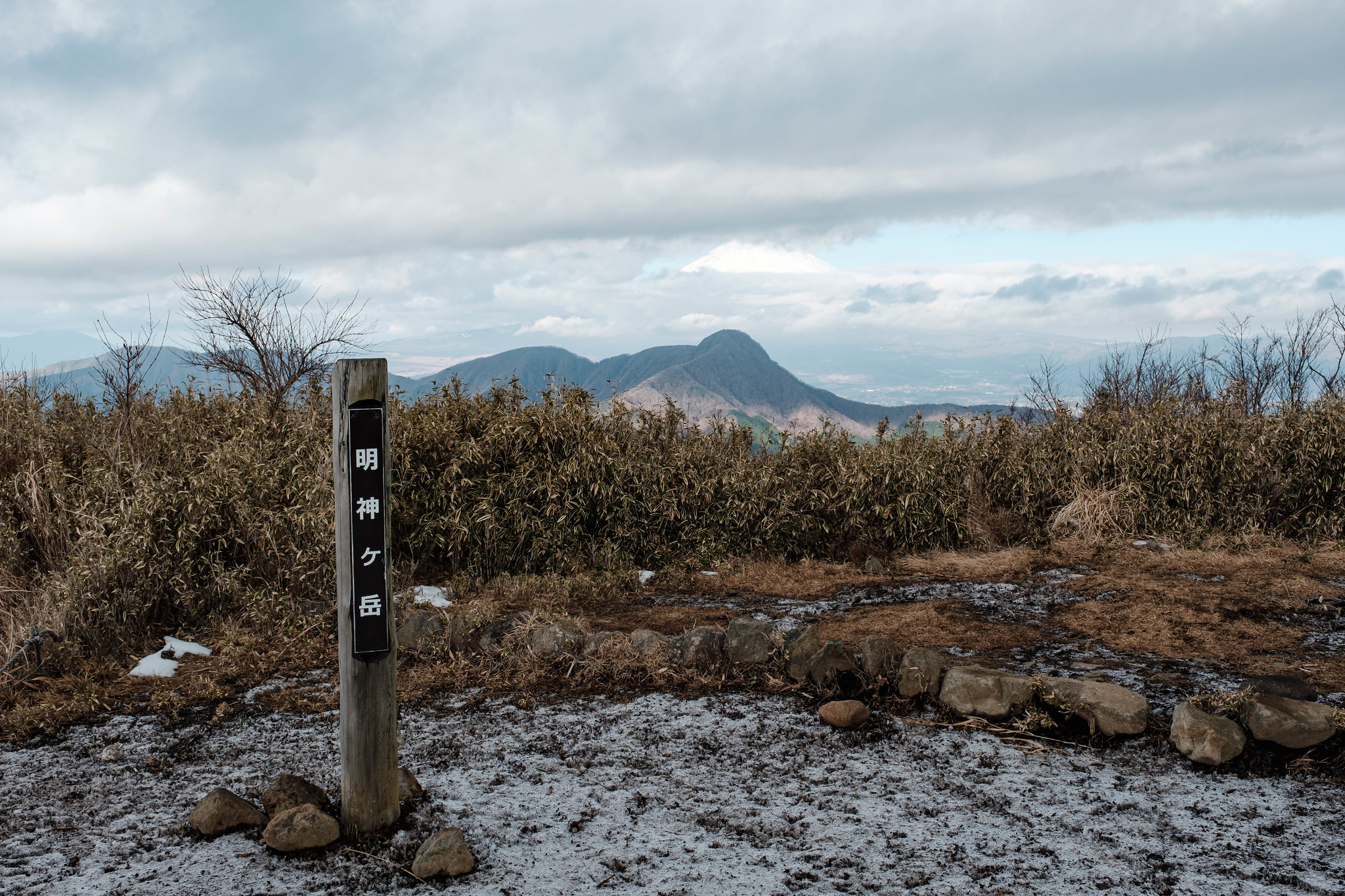
Stunning view from the ridge.


9:15 AM, I arrived at Mt.Myojin.

2.To Mt.Kintoki
I restarted hiking to Mt.Kintoki.
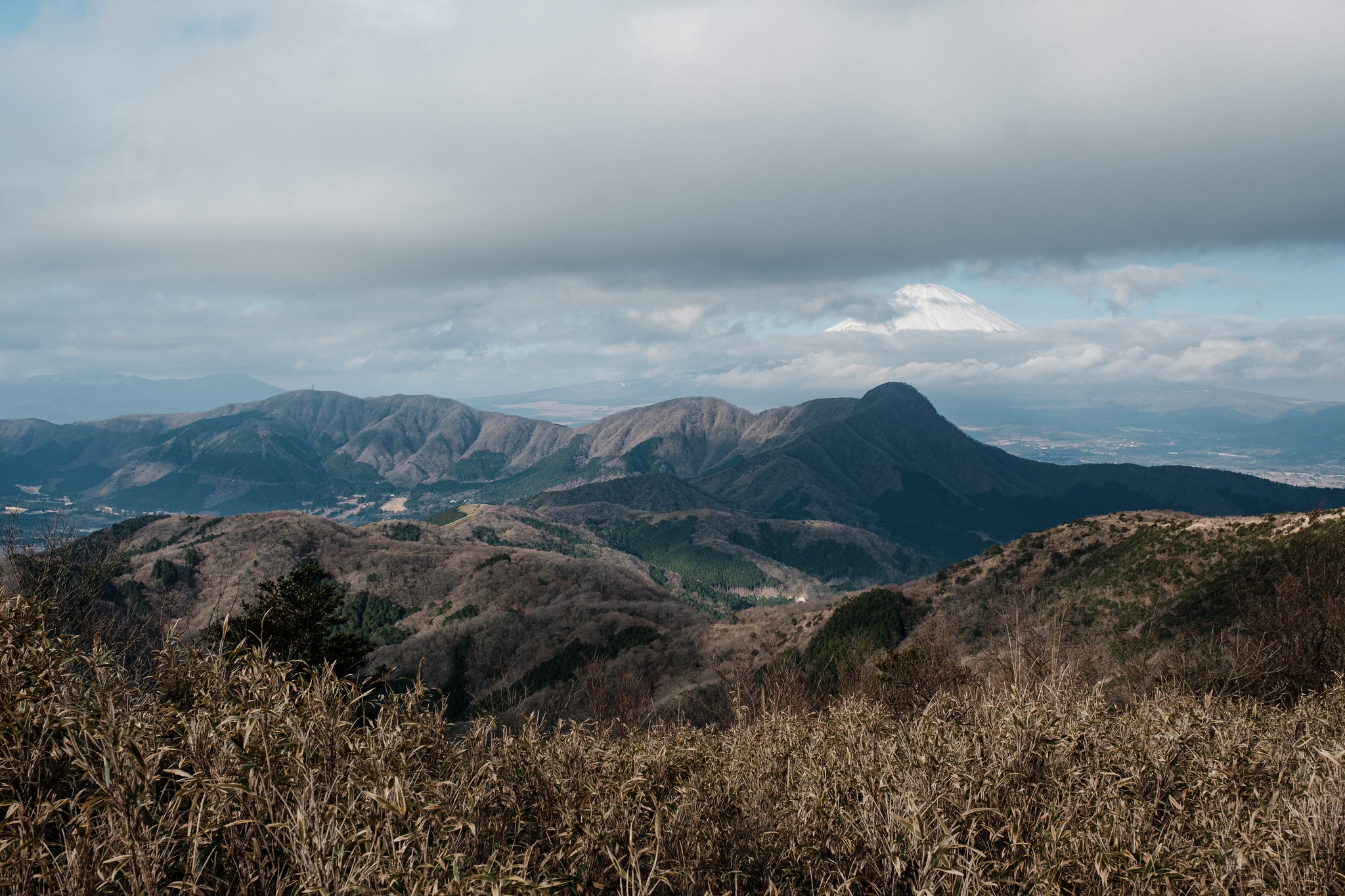
The clouds moved I could see Mt. Fuji in the moment.
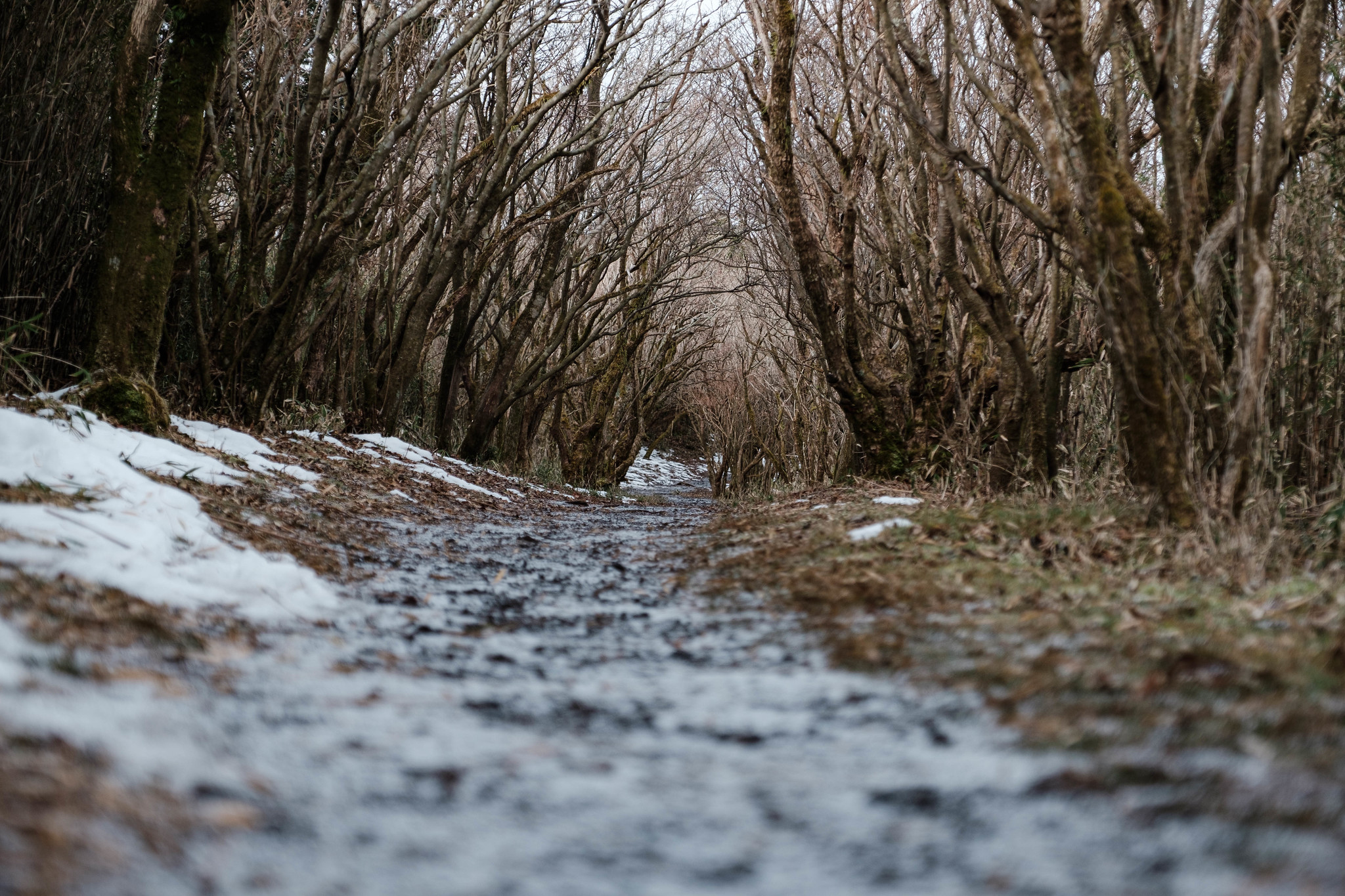
Beautiful trail.


11:30 AM, I arrived at Mt. Kintoki.

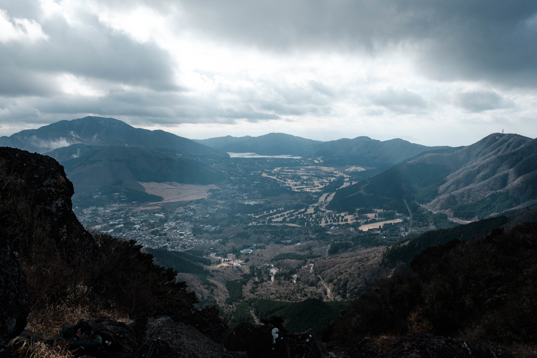
3.Hike down to the Ashigara station, JR Gotenba Line
I walked down to the Ashigara station, but this route is complicated by the damage of Typhoon. I recommend the route to Otome pass or Sendoku area.